

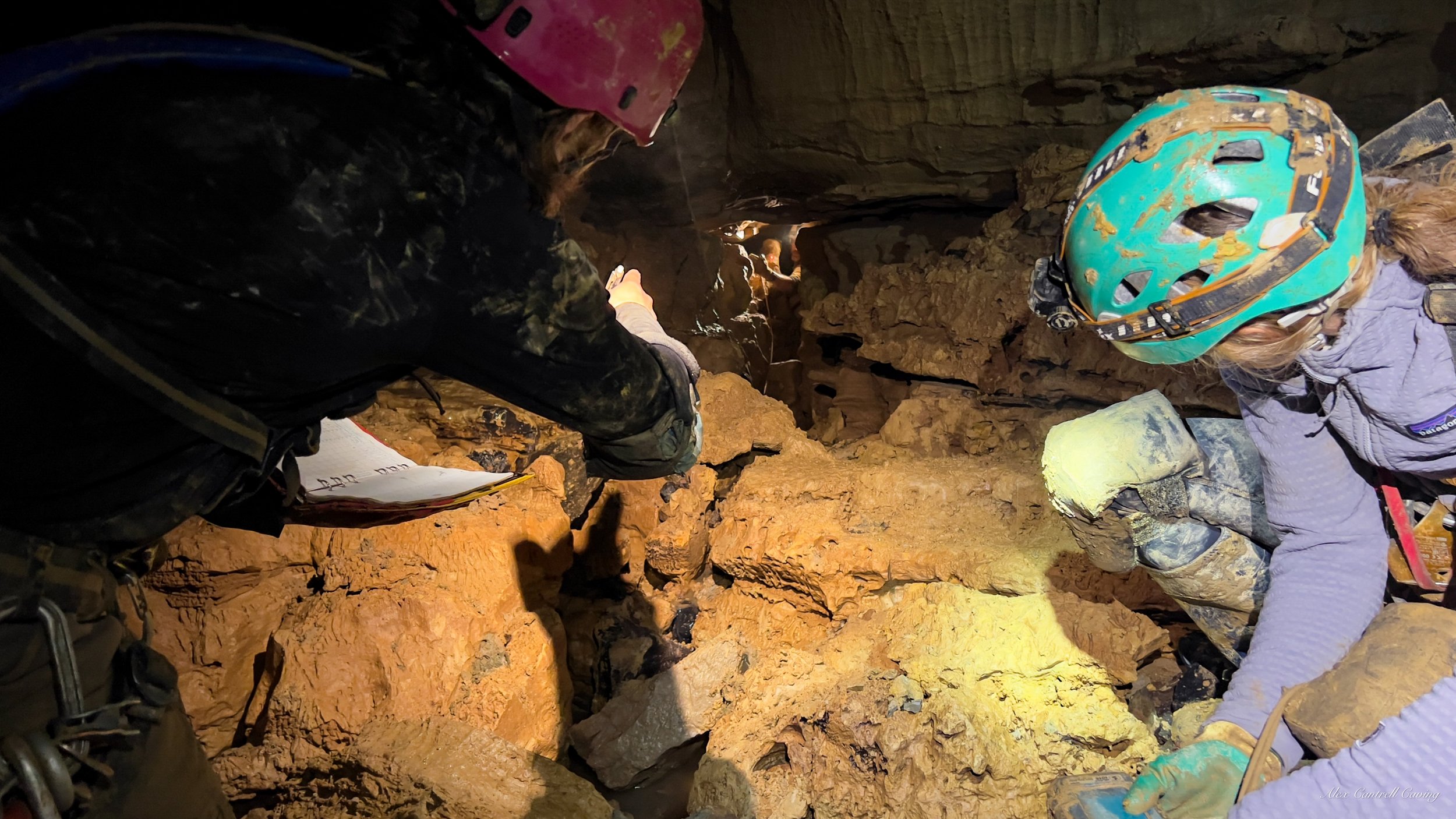
Survey
Don’t scoop it, survey it.
Survey instruments
These are what you use to map the cave, measuring direction, distance, and inclination from point to point.

I mostly use the BRIC, a rugged caver-made device built for underground conditions. It uses a laser rangefinder, accelerometer, magnetometer, and often a thermometer to capture distance, azimuth, inclination, and temperature. They’re waterproof, accurate, and ideal for modern survey work.
Other tools include the DISTO, which is compact and precise, especially when paired for front/back sights, though it needs waterproof mods. The Shetland Attack Pony is a budget-friendly, caver-built option that works well when dialed in. And if you’re going full old-school, you can still use a tape measure, compass, and inclinometer.
Classic data entry
The old-school (but still widely used) way to sketch and record your survey data by hand.
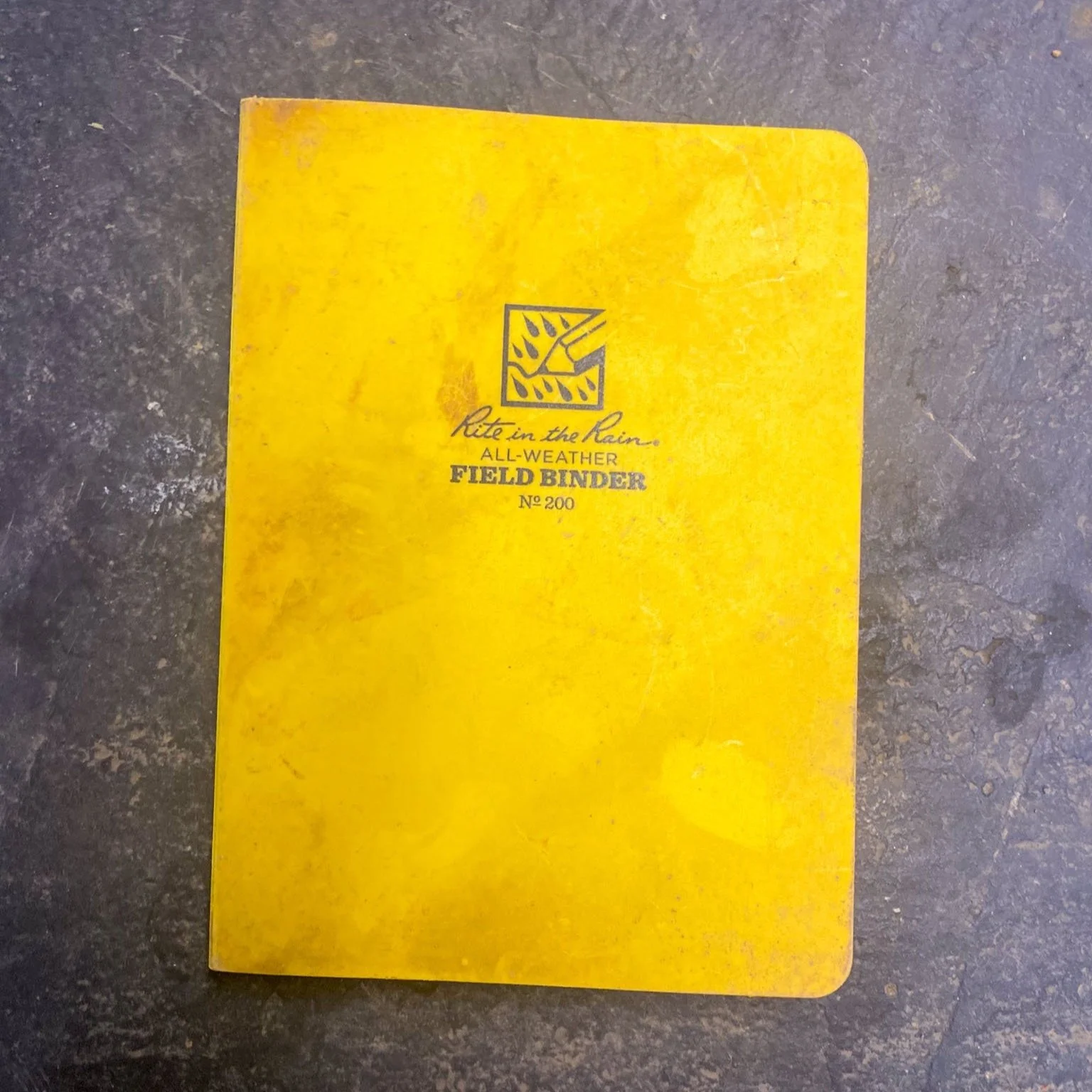
With classic entry, you’re logging data in a waterproof sketchbook, using forms that capture distance, azimuth, inclination, left-right-up-down, and notes at each station. Pages include a grid for scaled sketches, a space for the cave name, page number, and structured fields for front and back sights.
It’s still the most common method because it’s simple, field-tested, and doesn’t rely on tech. All you need is a pencil, waterproof paper, and a headlamp. When done right, it’s a durable and effective way to capture data.
Digital data entry
A tablet-based system that connects to your survey instruments and updates sketches in real time.
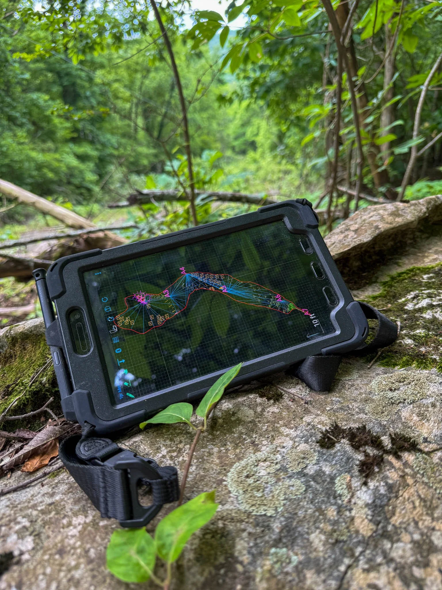
I use a Samsung Active Tab 2, paired with a stylus and rugged case. It connects via Bluetooth to survey instruments like the BRIC or Disto and plots stations/splays as you shoot them. You sketch directly on the screen as data populates around it, saving time and improving accuracy. You can do this using software like CaveWhere or Topodroid.
With the right gear, digital entry is incredibly efficient. Battery life is solid, and you can charge it underground with a power bank. While classic tools require you to manually input every measurement, digital setups build the framework for you. All you need to do is sketch in the walls and surrounding formations/objects.